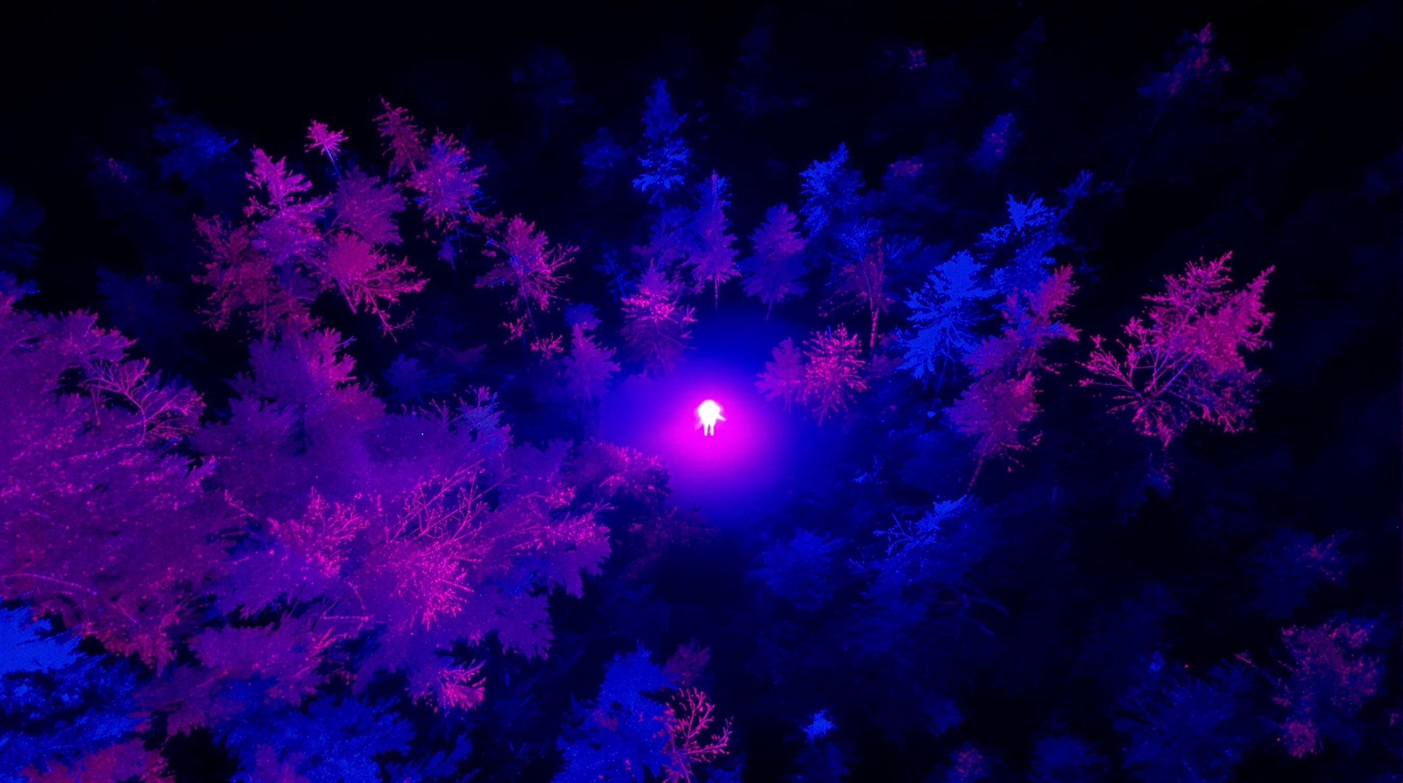
How Thermal Imaging Drones Find Missing Persons
Thermal imaging drones have fundamentally changed how we search for missing people. What used to take dozens of ground searchers days to cover, a single drone can survey in hours — with greater accuracy and the ability to see what human eyes cannot.
At SEARCH Investigations, drone operations are a core part of our search methodology. I am an FAA Commercial Pilot and Part 107 certified drone operator. I have personally deployed our DJI Matrice M30T on cases across the country, and it has been the decisive factor in locating missing persons who would not have been found otherwise.
Here is how the technology works and why it matters.
How Thermal Imaging Works
Every living thing emits infrared radiation — heat. A thermal imaging camera detects that radiation and converts it into a visual image. A human body at 98.6 degrees stands out sharply against cooler surroundings like dirt, rocks, vegetation, and water.
Our DJI Matrice M30T carries both a high-resolution visual camera and a radiometric thermal sensor. The thermal sensor can detect temperature differences as small as a fraction of a degree, which means we can identify a person hidden in dense brush, under a tree canopy, or lying in a ravine that ground searchers would never reach.
Day vs. Night Operations
Thermal imaging works around the clock, but nighttime operations are often more effective. Why? During the day, the sun heats up rocks, pavement, and other surfaces, creating thermal noise that can mask a human heat signature. At night, the environment cools while a living person maintains body heat — creating maximum contrast.
That said, we routinely conduct daytime thermal flights with excellent results, particularly in shaded terrain, forested areas, and early morning conditions when the ground has cooled overnight.
Vegetation Penetration
One of the most common questions I get: can the drone see through trees? The answer is nuanced. Thermal radiation from a human body does partially penetrate light vegetation and thin canopy. In moderate cover, we frequently detect heat signatures that would be invisible to the naked eye or a standard camera.
Dense, multi-layer canopy is more challenging. In those cases, we fly lower, use tighter grid patterns, and combine drone operations with K9 deployment on the ground. The two technologies complement each other.
AI-Assisted Image Analysis
Raw thermal footage requires expert interpretation. We use ADIAT (AI-Detected Image Analysis Technology) software to process our drone imagery. ADIAT can flag anomalies in both visual and thermal feeds — identifying shapes, heat signatures, and objects of interest that a human reviewer might miss, especially over large search areas.
This is not about replacing human judgment. It is about making sure nothing gets overlooked across hundreds or thousands of acres of footage.
Real Results
In the Agoura Hills case, our drone located a missing man in steep, inaccessible terrain within minutes of deployment — after traditional search efforts had been stood down. The thermal signature was clear even though the individual was concealed by terrain and vegetation.
This is not an anomaly. Thermal drone deployment has been a factor in multiple successful outcomes for our team. The technology works. But it works best when operated by someone who understands both the equipment and the search problem.
When Drones Are Deployed
We deploy drones in wilderness searches, urban searches near natural areas, water searches along shorelines and riverbanks, and any scenario where the missing person may be in terrain that is dangerous or impractical for ground teams. We also use drone overflights to plan and coordinate ground search operations.
The Bottom Line
Thermal imaging drones are not a gimmick. They are the most significant advancement in search and rescue technology in the last two decades. If your loved one is missing and the search team is not using thermal drone technology, critical capability is being left on the table.
Contact SEARCH Investigations for immediate drone-assisted search operations: (877) 619-9890