Every search combines investigation and field work. Phone and tower data tell us where to look. Drones photograph the ground. Detection software screens every image. Ground teams and K9 check what it finds. Here is the equipment behind each step, and how it helps.
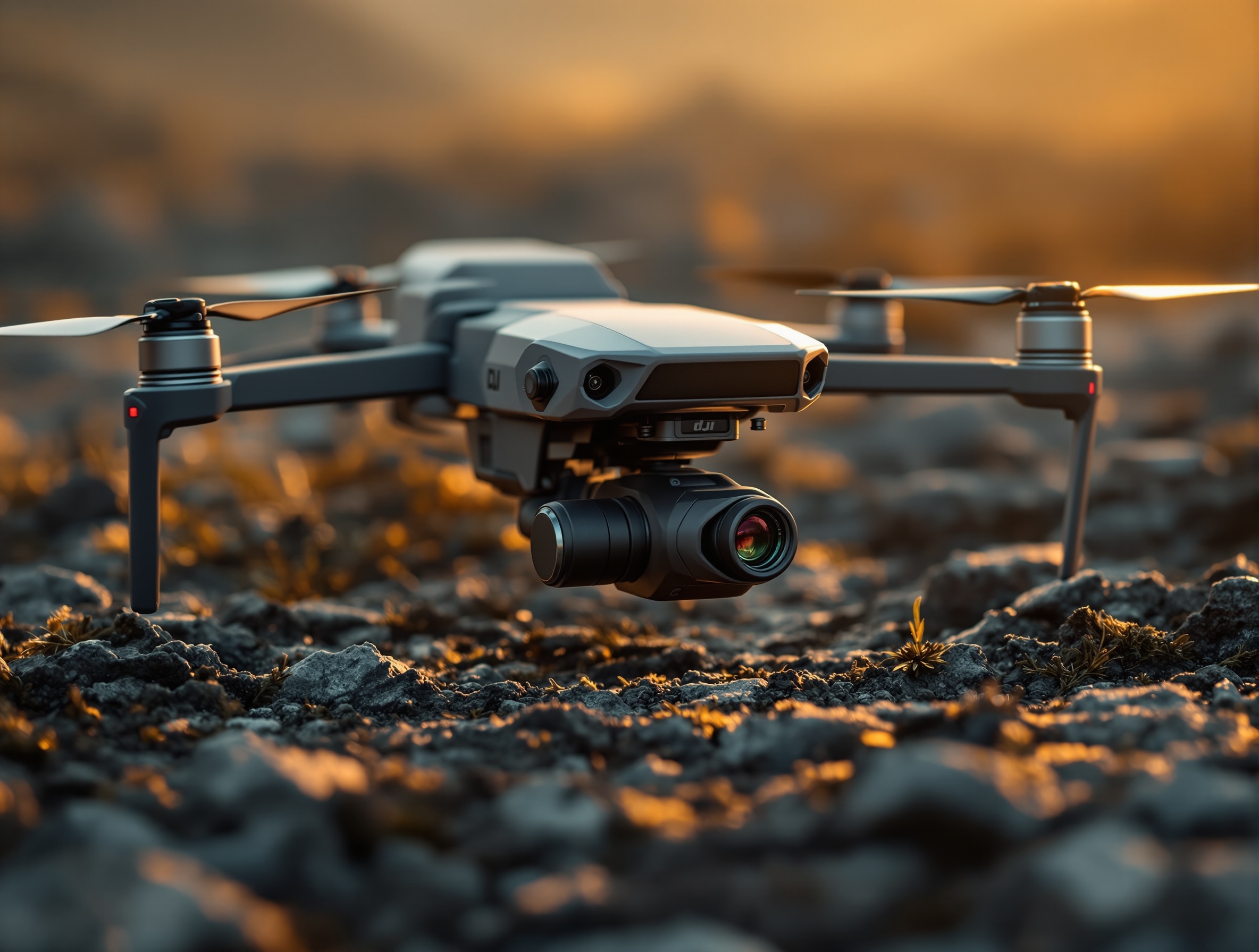
We fly DJI Matrice M30T and Matrice 4T enterprise drones, built for public safety work. They can be programmed to fly organized grid patterns over a set search area, capturing hundreds or thousands of high-resolution images in one mission.
That gives us a detailed record of terrain that is hard or dangerous to check on foot: ravines, dense brush, steep slopes and creek beds. Thermal cameras add a second view, picking up body heat through gaps in the canopy and in total darkness.
On the Amy Hillyard search in Oakland, we flew the Matrice 4T over the trails her phone showed she had looked up before she disappeared.
A single flight can produce thousands of photos. No one can study every one by eye, so software screens them first.
Eagle Eyes Mirada scans large image sets quickly and highlights what may otherwise be missed: unusual colors, shapes, patterns and other anomalies. ADIAT (Automated Drone Image Analysis) screens images for heat signatures and color, and Steve is certified in it.
The software does not decide anything. Our searchers review every detection in context and decide whether it needs a closer look or a ground check.
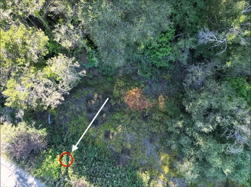
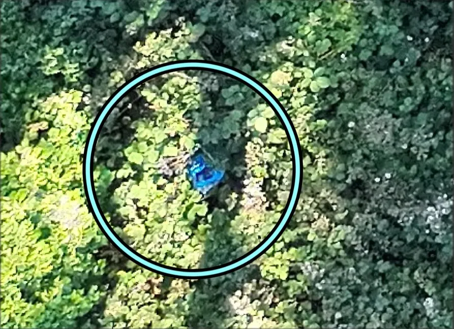
In this example from a real search, Eagle Eyes Mirada flagged a small blue object hidden in brush. In the full frame it is a few pixels. Zoomed in, it is clearly worth sending a team to check.


Phone data, cell towers, app history and camera footage show where the person really went.
The drone photographs each search area systematically, in daylight or with thermal at night.
Eagle Eyes Mirada and ADIAT flag anything unusual. A searcher reviews every flag.
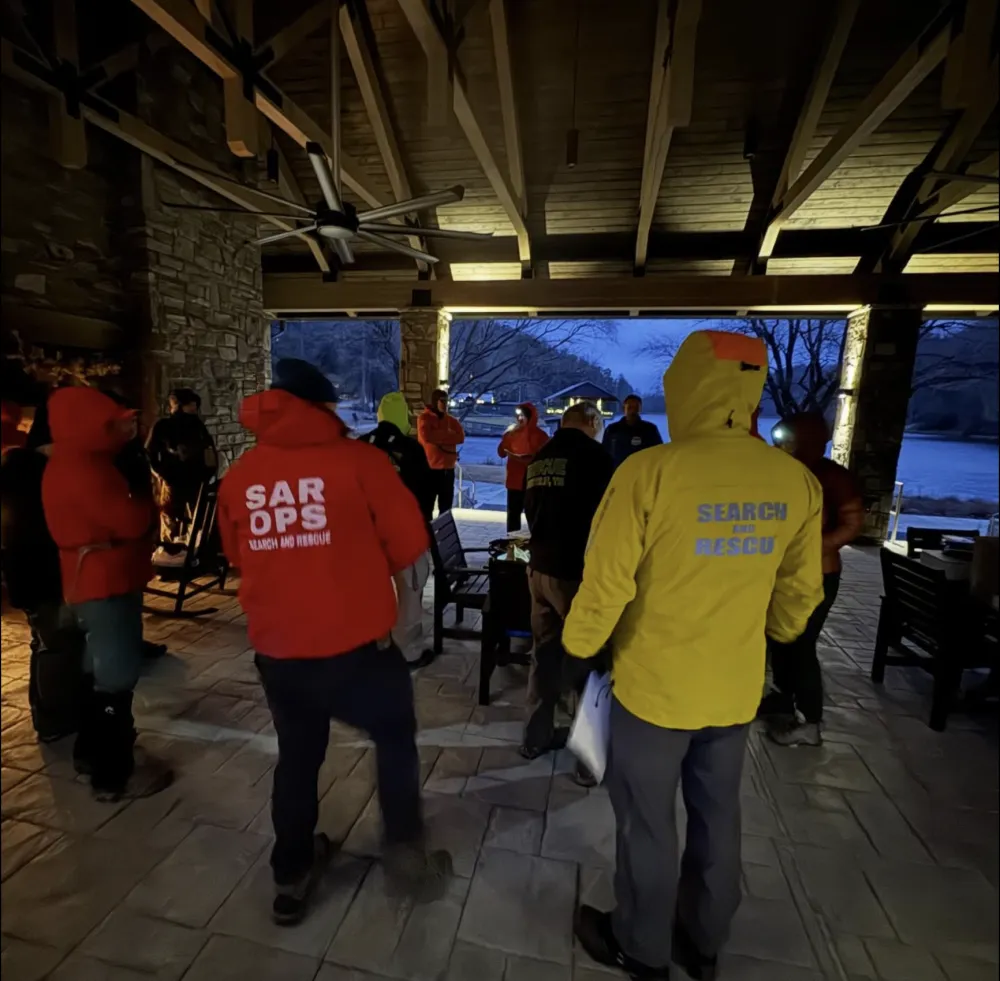
Ground teams and K9 check each flag, working alongside law enforcement.
Search dogs cover ground a drone can't see into: thick cover, structures and areas under tree canopy. They follow scent where there is nothing to photograph.
Digital forensics is often where a search starts. Cell phone and tower records, app history and device reviews show where someone went before they disappeared, which turns a whole city into a short list of places to search.
Water is the hardest place to search. We are building out side-scan sonar that runs from an inflatable boat, along with satellite messengers so every searcher is tracked and in contact off grid. If your company makes gear that helps find missing people, we would like to hear from you.
We can typically deploy within hours. Call for a free consultation.
877-619-9890